Beyond the Forecast: How Weather Satellites Protect Your South Florida Roof from Storm Damage
In Fort Lauderdale, Hollywood, and across South Florida, we live in paradise. Yet, with that beauty comes the undeniable reality of hurricane season. As experienced, licensed roofing contractors at Shieldline Roofing, we understand that protecting your home or business isn’t just about the materials we use; it’s also about having the best information possible to prepare. That’s where weather satellites come in – they are the unsung heroes providing critical data that helps us, and you, predict and mitigate potential storm damage to your roof and property.
Gone are the days of relying solely on guesswork. Today, advanced satellite technology gives us an incredible vantage point, allowing for real-time tracking of storms and sophisticated predictions that directly impact how we secure and maintain properties in **High-Velocity Hurricane Zones (HVHZ)** like ours. Understanding how this data is gathered and used is key to proactive roof protection and compliance with the stringent **Florida Building Code (FBC)**.
The Unseen Guardians Above: How Satellites Watch Over South Florida’s Roofs
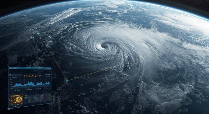
Imagine having eyes in the sky, constantly scanning the globe for threats heading towards our coast. That’s precisely what weather satellites do. They are our first line of defense, offering an unparalleled perspective on atmospheric conditions that ground-based systems simply cannot provide. For property owners in Fort Lauderdale and Hollywood, this global watchtower translates into vital lead time for securing assets and ensuring your roof is ready.
A Global Network with Local Impact: Geostationary vs. Polar-Orbiting
Our planet is circled by two primary types of weather satellites, each playing a crucial, distinct role in monitoring storms:
- Geostationary Satellites: These marvels of engineering orbit at a fixed point relative to the Earth’s surface, providing continuous, localized views of a specific region. For the Americas, satellites like GOES (Geostationary Operational Environmental Satellite) offer a constant, vigilant watch over the Atlantic basin, where most of our hurricane threats originate. This uninterrupted data stream is critical for tracking rapidly developing systems that could impact South Florida.
- Polar-Orbiting Satellites: Unlike their geostationary counterparts, these satellites offer global coverage by circling the Earth from pole to pole. As they orbit, they capture detailed, high-resolution data across different longitudes and latitudes. Satellites like NOAA/JPSS and MetOp provide comprehensive snapshots of the entire planet, filling in the gaps and offering granular detail that complements the continuous watch of geostationary systems. This combined approach ensures no potential storm goes unnoticed, no matter its origin.
The Sophisticated Sensors: Eyes and Ears on the Atmosphere
Modern weather satellites are equipped with an array of advanced sensors, each designed to detect different aspects of a storm, helping us understand its potential to damage your roof:
- Visible Light Sensors: During daylight hours, these sensors track cloud formation, movement, and the overall structure of a storm. This visual data helps meteorologists identify early signs of organization and assess the sheer size of an approaching system.
- Infrared Sensors: These sensors measure cloud top temperatures, crucial indicators of storm height and intensity, working effectively day and night. Colder cloud tops often signify higher, more powerful convection, suggesting a more intense storm capable of generating stronger winds and heavier rainfall that challenge your roof’s integrity.
- Microwave Imagers: This is where it gets incredibly technical and useful for roofers. Microwave imagers can penetrate clouds to detect rainfall rates, water vapor, and ice content within storm systems. This is indispensable for heavy precipitation forecasts, informing us about the potential for flash flooding and the sheer volume of water your roof, drainage system, and surrounding property will have to contend with.
- Scatterometers: These specialized instruments measure ocean surface winds. For hurricanes and cyclones, scatterometer data provides direct, invaluable information on the storm’s wind fields, helping predict the force that will bear down on your roof.
Tracking Storm Genesis, Evolution, and Your Property’s Risk
The beauty of satellite data lies in its ability to not just observe but to provide a continuous narrative of a storm’s life cycle. From the moment an initial disturbance forms, satellites monitor its intensification, track its path, and help predict its eventual impact. This constant surveillance allows meteorologists to create more accurate forecast models, directly influencing evacuation orders and preparation timelines.
Modern geostationary satellites can provide full-disk images of Earth every 5-15 minutes, with regional scans as frequent as every 30 seconds for rapidly developing storms. This rapid refresh rate means that changes in a storm’s intensity or direction are detected almost instantaneously, giving South Florida residents precious extra minutes or hours to act.
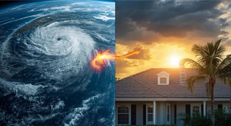
Translating Data into Roof Resilience: Predicting Damage Before It Happens
At Shieldline Roofing, we don’t just wait for the storm. We prepare. And that preparation is significantly enhanced by the granular data provided by weather satellites. This isn’t just about knowing a storm is coming; it’s about understanding its specific characteristics and how they will challenge the structural integrity and waterproofing of your roof in Fort Lauderdale or Hollywood.

Wind Speeds and Your Roof’s Structural Integrity
One of the primary concerns for any South Florida roof is wind. Satellite data helps estimate surface wind fields from cloud motion vectors and scatterometer data. This is critical for predicting the potential for structural damage based on projected sustained winds and gusts. The **Florida Building Code (FBC)** sets rigorous standards for wind resistance, particularly in **HVHZ** areas. Satellite predictions directly inform how we assess if a roof meets these standards or if upgrades are needed. Furthermore, understanding wind shear from satellite imagery can even predict the potential for tornado genesis within larger hurricanes, which can inflict catastrophic, localized damage on specific roof sections.
Precipitation, Flooding, and the Importance of a Watertight System
Beyond wind, the sheer volume of water brought by tropical systems poses an immense threat. Satellite data measures rainfall rates using microwave and infrared data, crucial for issuing accurate flash flood warnings. It tracks atmospheric moisture content and total precipitable water to estimate the potential for extreme rainfall events. This information is directly integrated into hydrological models for riverine and urban flood forecasting, allowing property owners to prepare for both external flooding and potential leaks in their roofing system. Satellite data has contributed to reducing average flood forecast errors by up to 15-20% in some regions over the past decade. For homeowners, this means better preparation for protecting interiors from leaks, assessing the capacity of gutters and downspouts, and ensuring secondary water barriers are in place beneath your roofing material, as mandated by FBC.
Storm Surge, Coastal Impact, and Foundation Protection
For our coastal communities in South Florida, storm surge is a terrifying prospect. While satellites don’t directly measure surge, they indirectly predict it through accurate wind field and pressure forecasts that impact ocean levels. Monitoring sea surface temperature (SST) also helps understand the potential for storm intensification, which directly correlates with surge risk. A stronger storm means a greater potential for surge, threatening not only lower levels of a property but also undermining foundations and infrastructure, which can indirectly compromise the entire structure, including the roof.
Refining Landfall Predictions: More Time to Prepare
Every hour counts when a hurricane is approaching. Satellite data significantly enhances the accuracy of hurricane “cone of uncertainty” forecasts by providing high-resolution information that feeds directly into numerical weather prediction models. This leads to dramatically improved lead times for coastal communities in Fort Lauderdale and Hollywood to prepare for direct impacts. The average 72-hour forecast error for hurricane track has decreased by over 50% since the 1990s, largely due to enhanced satellite data integration. This improvement is a game-changer for businesses and homeowners, allowing more time for shutter deployment, securing outdoor items, and enacting roof protection plans.
From Forecast to Fortification: Shieldline Roofing’s Role in Mitigation
The predictions derived from satellite data are not abstract. They translate directly into actionable steps that property owners and emergency services, including professional roofers like us, take to mitigate damage. At Shieldline Roofing, we leverage this enhanced understanding of storm threats to better advise our clients and ensure their roofs are as resilient as possible.
Empowering Timely Evacuations and Property Securing
The extended lead times provided by advanced satellite forecasting give authorities crucial additional hours, sometimes even days, to issue mandatory evacuation orders for at-risk populations. For those who stay, or businesses that need to secure their premises, this means more time to install hurricane shutters, secure loose items, and take proactive measures to protect their roofs. Studies suggest that every 1 hour of increased lead time for a hurricane warning can save hundreds of millions of dollars in economic losses. This directly impacts property owners by giving them a better chance to protect their investments.
Strategic Resource Pre-positioning: Our Preparedness
Accurate storm predictions guide the strategic deployment of emergency services, utility repair crews, and vital supplies. For Shieldline Roofing, this means we can better pre-position our teams and materials, ensuring we’re ready to respond quickly and efficiently to assessment and repair needs once a storm has passed. Optimizing logistics for disaster relief operations means we can get to your damaged roof faster, minimizing further water intrusion and secondary damage.
Safeguarding Infrastructure: Beyond Just the Roof
Satellite data enables utilities to take proactive measures like securing power grids, preparing communication systems, and protecting critical public infrastructure such as hospitals, police stations, and transportation hubs. While our focus is your roof, these broader protective measures ensure that the support systems needed for recovery are intact, allowing for quicker overall community restoration post-storm.
Informing Smart Investments: Insurance, Planning, and Code Compliance
The high-resolution data from satellites is invaluable for insurance companies. It helps them refine damage probability models, accurately assess financial risk for properties, and even assist in underwriting and post-event loss estimation. For homeowners and developers, this data informs urban planning decisions, helps shape stronger building codes (like those in the FBC for **HVHZ** zones), and guides coastal management strategies, ultimately building more resilient communities in South Florida.
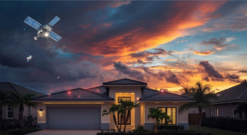
The Horizon of Protection: Future Satellite Tech and Your Home
While current satellite capabilities are impressive, the technology isn’t standing still. Continuous advancements promise even greater precision and speed, further refining our ability to predict damage and protect your property.
Addressing Data Gaps for Hyper-Local Threats
Despite their sophistication, satellites do have limitations. There can be challenges in spatial and temporal resolution, especially for rapidly evolving, small-scale phenomena like tornadoes or microbursts. Also, directly observing certain atmospheric parameters at the surface or within complex storm structures can be difficult. This necessitates continuous integration with ground-based radar and in-situ observations, creating a comprehensive network of data points that Shieldline Roofing leverages when assessing potential threats to your specific location in Fort Lauderdale.
Next-Generation Satellites: Unprecedented Detail
The future is bright with the introduction of even more advanced sensors on new satellite systems (e.g., GOES-R series, JPSS, Sentinel series). These offer hyperspectral imaging, lightning mapping, and even higher resolution, providing an even clearer picture of storm dynamics. The emergence of CubeSats and small satellite constellations for specialized, rapid-refresh data means we’ll soon have even more frequent and detailed insights into localized weather phenomena, enhancing specific damage predictions for your roof.
AI and Machine Learning: Sharpening Our Predictive Edge
The sheer volume of data generated by satellites is staggering. The total volume of Earth observation data generated by satellites is projected to increase tenfold by 2030, necessitating AI for effective analysis. This is where Artificial Intelligence (AI) and Machine Learning (ML) come in. These technologies are developing algorithms to process vast amounts of satellite data more efficiently, identify subtle patterns, and improve prediction models. AI-driven nowcasting and short-term forecasting will allow for near real-time damage assessment, helping our teams respond with unprecedented speed and accuracy after a storm event.
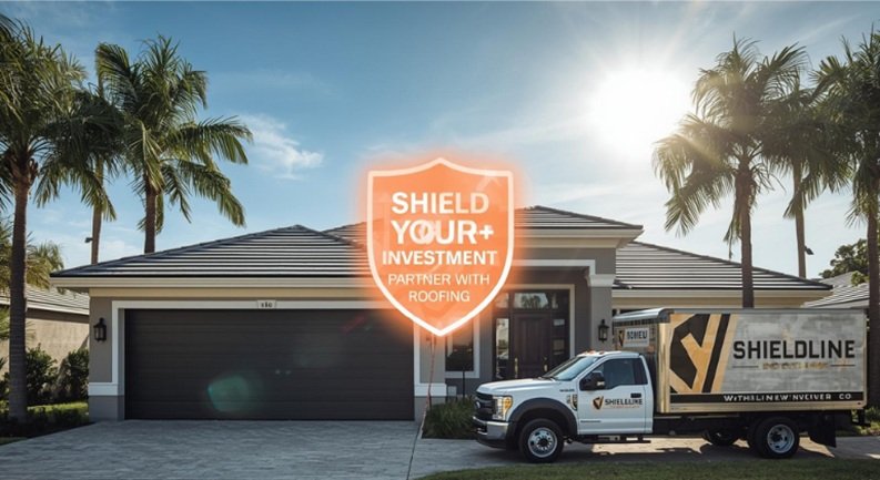
Shield Your Investment: Partnering with Shieldline Roofing
The incredible capabilities of weather satellites provide us with an increasingly clear picture of potential storm damage, empowering better preparation and mitigation. For homeowners and business owners in Fort Lauderdale, Hollywood, and throughout South Florida, this means you can make more informed decisions about your roof’s integrity and readiness. At Shieldline Roofing, we don’t just understand the science; we translate it into practical, code-compliant solutions for your property.
We are dedicated to providing the highest level of expertise, ensuring your roof meets or exceeds **Florida Building Code** standards, and stands strong against the harshest weather South Florida can throw at it. From comprehensive inspections to robust repairs and full replacements, our licensed and insured team is your trusted partner in protecting your most valuable asset.
Ready for a free, no-obligation, code-compliant roof inspection to assess your storm readiness? Don’t wait for the next forecast. Contact Shieldline Roofing today to ensure your Fort Lauderdale or Hollywood property is secure and resilient!
FAQs for South Florida Homeowners
What’s the difference between a geostationary and a polar-orbiting weather satellite, and how does that help us protect our roofs?
Geostationary satellites (like GOES) stay over one spot, giving continuous, real-time updates for areas like the Atlantic basin, crucial for early hurricane tracking heading towards South Florida. Polar-orbiting satellites (like NOAA/JPSS) circle the Earth, providing detailed, global coverage and higher-resolution data that complements the geostationary view, offering a more complete picture of a storm’s structure and intensity, which directly impacts our assessment of potential wind and water damage to your roof.
How accurate are storm damage predictions based solely on satellite data for my specific property?
While satellite data provides incredibly accurate broad-scale and regional storm predictions (like track and intensity), predicting exact damage for an individual property in Fort Lauderdale isn’t based *solely* on satellites. Satellite data is a critical input for numerical weather models. These models, combined with local topography, building codes (like **FBC HVHZ** standards), and specific roof construction details, allow us to make more precise damage assessments. Satellite data gives us the big picture; local expertise and ground-based observations fill in the fine details for your specific roof.
Can weather satellites predict tornadoes directly, or only larger storm systems that might affect my roof?
Weather satellites do not directly predict individual tornadoes. Tornadoes are small-scale, rapidly forming phenomena. However, satellites provide crucial data on the larger storm systems (like supercells or hurricanes) that *can produce* tornadoes. By monitoring atmospheric moisture, temperature gradients, and cloud movements at high resolution, meteorologists can identify conditions favorable for tornado development. This gives us crucial warning signs that such localized, intense damage to your roof could be possible, even within a larger storm system.
How do satellites help after a storm has passed in assessing damage to properties in Fort Lauderdale?
Even after a storm, satellites continue to be vital. High-resolution post-event satellite imagery can quickly identify areas of widespread damage, assess flooding extent, and locate critical infrastructure disruptions. While Shieldline Roofing conducts physical on-site inspections for detailed roof damage assessment, this satellite data helps emergency services and insurance companies rapidly prioritize areas needing aid and allows us to strategically deploy our repair crews to the hardest-hit neighborhoods in Fort Lauderdale and Hollywood, speeding up the recovery process.
Are the services and data from weather satellites crucial for my roof protection publicly available?
Yes, much of the raw data and processed imagery from governmental weather satellites (like those operated by NOAA) is publicly available to meteorologists, researchers, and through various weather apps and websites. While you won’t be sifting through raw data yourself, the forecasts and warnings you receive from official channels are directly derived from this satellite information. As your roofing contractor, Shieldline Roofing leverages these publicly available insights to inform our advice and services, ensuring your property adheres to the latest **FBC** standards and is prepared for South Florida’s unique weather challenges.